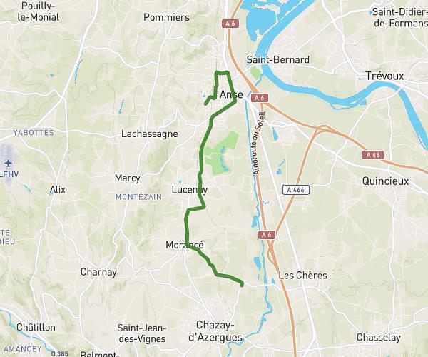
This running route covers 15.075mi starting from Genay, Rhône. The run does not return to the trailhead and ends near 25 Place De L'hôtel De Ville, 01330 Villars-les-Dombes, France. This run is rated as strenuous, expect about 2h42m to complete it. The route has an elevation gain of 397ft and an elevation loss of 52ft.
Villard les dombes
Route details
5.59mph
Speed
1852 kcal
Calories burned
Point to point
Route type
561ft
Min altitude
958ft
Max altitude
Route profile
397ft
Elevation gain
52ft
Elevation loss
561ft
Min altitude
958ft
Max altitude
How to get there
Trailhead: 530 Route De Trévoux, 69730 Genay, France
GPS coordinates of the trailhead: 45.8907, 4.82647 / 45°53'26'' N, 4°49'35'' E