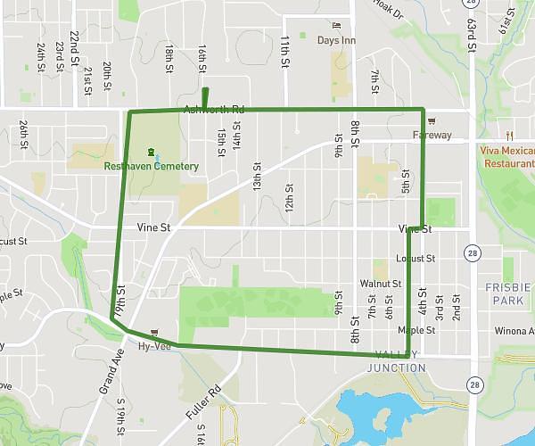
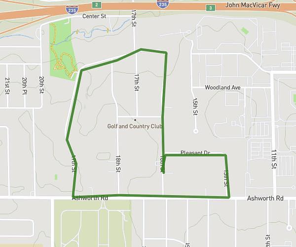
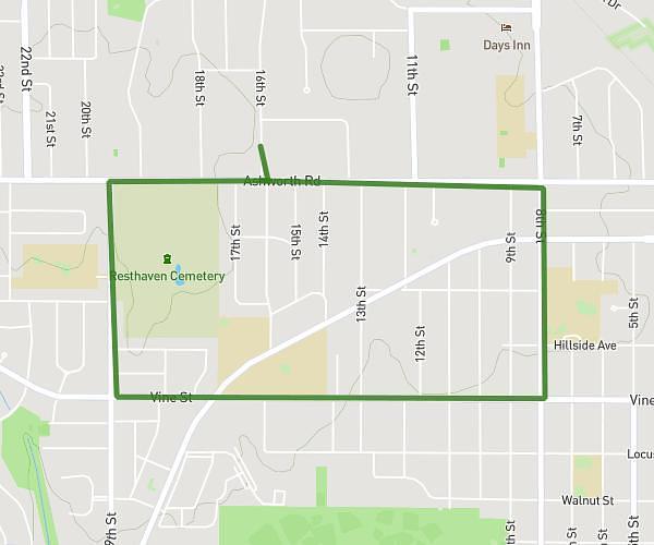
This walking route covers 2.065mi starting from Clive, Iowa. The walk is a loop trail and returns to the trailhead. This walk is rated as easy, plan for about 1h to complete it. The route has an elevation gain of 190ft and an elevation loss of 200ft.
Chelsea Wilde
Route details
29:05/mi
Pace
245 kcal
Calories burned
Loop trail
Route type
886ft
Min altitude
961ft
Max altitude
Route profile
190ft
Elevation gain
200ft
Elevation loss
886ft
Min altitude
961ft
Max altitude
How to get there
Trailhead: 1980 Northwest 89th Street, Clive, Iowa 50325, United States
GPS coordinates of the trailhead: 41.61131, -93.74087 / 41°36'40'' N, 93°44'27'' W