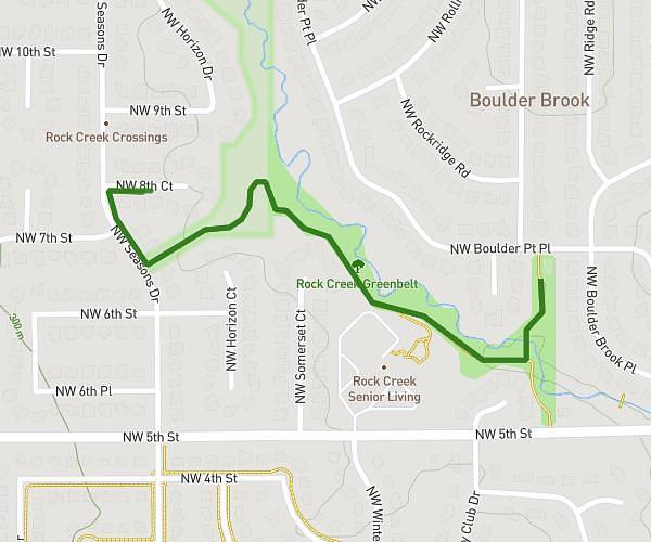
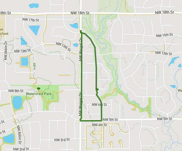
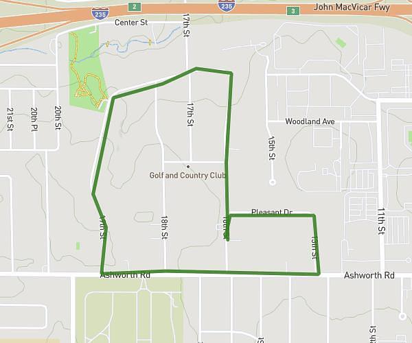
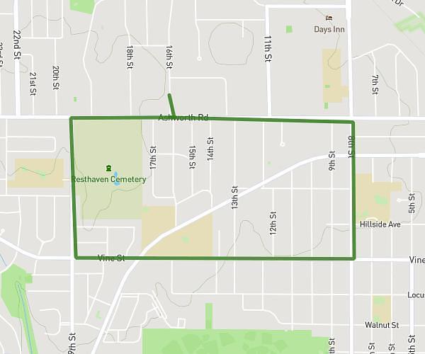
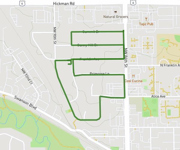
This walking route covers 4.691mi starting from West Des Moines, Iowa. The walk is a loop trail and returns to the trailhead. This walk is rated as moderate, plan for about 1h41m to complete it. The route has an elevation gain of 174ft and an elevation loss of 177ft.
VALLEY junction 4.5 miles
Route details
21:33/mi
Pace
412 kcal
Calories burned
Loop trail
Route type
804ft
Min altitude
932ft
Max altitude
Route profile
174ft
Elevation gain
177ft
Elevation loss
804ft
Min altitude
932ft
Max altitude
How to get there
Trailhead: 16th Street, 50265 West Des Moines
GPS coordinates of the trailhead: 41.58586, -93.72545 / 41°35'9'' N, 93°43'31'' W