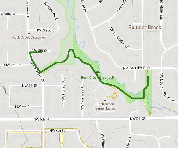
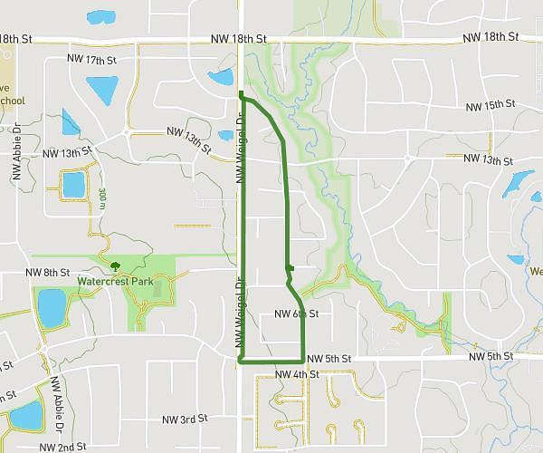
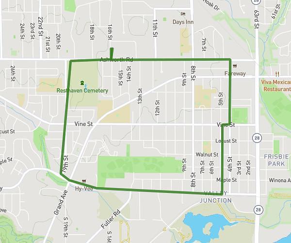
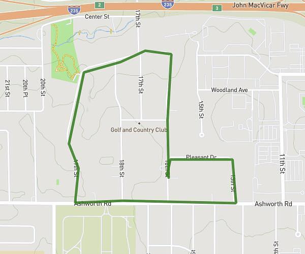
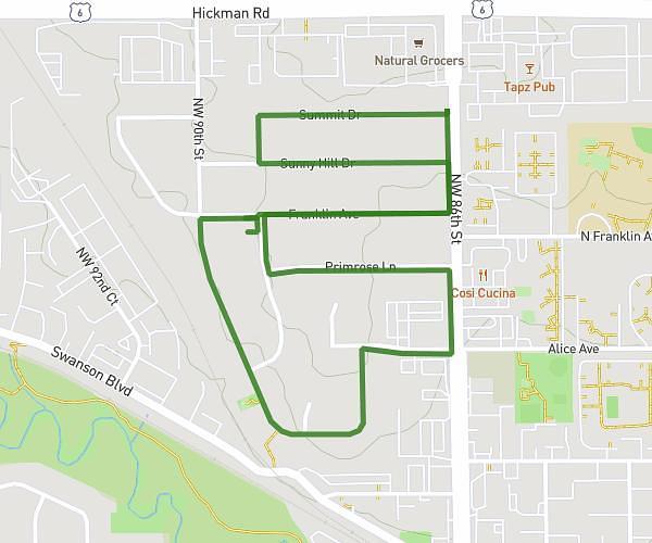
This walking route covers 3.08mi starting from West Des Moines, Iowa. The walk is a loop trail and returns to the trailhead. This walk is rated as easy, plan for about 1h6m to complete it. The route has an elevation gain of 89ft and an elevation loss of 112ft.
3 Mile Cannoli
Route details
21:25/mi
Pace
270 kcal
Calories burned
Loop trail
Route type
853ft
Min altitude
942ft
Max altitude
Route profile
89ft
Elevation gain
112ft
Elevation loss
853ft
Min altitude
942ft
Max altitude
How to get there
Trailhead: 1601 Ashworth Road, West Des Moines, Iowa 50265, United States
GPS coordinates of the trailhead: 41.58463, -93.72558 / 41°35'4'' N, 93°43'32'' W