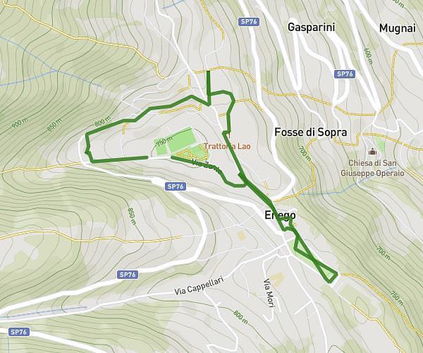
This running route covers 2.209mi starting from Canal San Bovo, Trentino. The run is a loop trail and returns to the trailhead. This run is rated as easy, expect about 21m to complete it. The route has an elevation gain of 574ft and an elevation loss of 574ft.
Campeggio
Route details
6.31mph
Speed
240 kcal
Calories burned
Loop trail
Route type
2083ft
Min altitude
2516ft
Max altitude
Route profile
574ft
Elevation gain
574ft
Elevation loss
2083ft
Min altitude
2516ft
Max altitude
How to get there
Trailhead: Via Alle Grazie, 38050 Canal San Bovo
GPS coordinates of the trailhead: 46.15555, 11.73319 / 46°9'19'' N, 11°43'59'' E