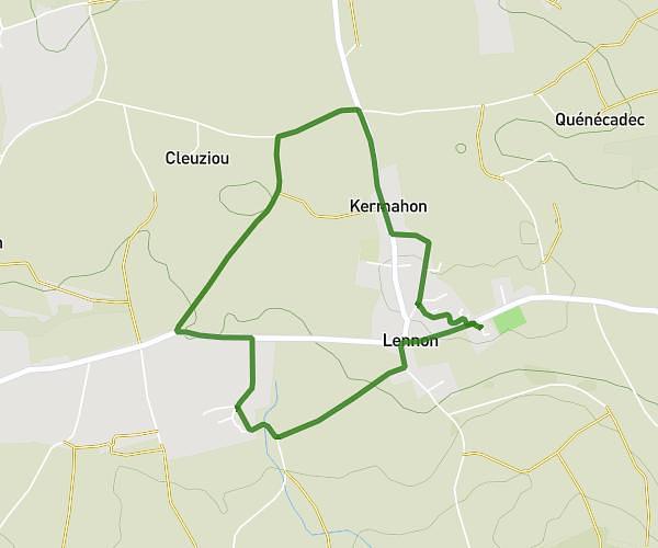
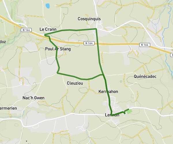
This running route covers 2.853mi starting from Quimper, Finistère. The run does not return to the trailhead and ends near 2 Rue Du Commandant Avril, 29000 Quimper, France. This run is rated as easy, expect about 28m to complete it. The route has an elevation gain of 203ft and an elevation loss of 361ft.
RUN
Route details
6.11mph
Speed
320 kcal
Calories burned
Point to point
Route type
0ft
Min altitude
177ft
Max altitude
Route profile
203ft
Elevation gain
361ft
Elevation loss
0ft
Min altitude
177ft
Max altitude
How to get there
Trailhead: 9 Chemin De Kernoter, 29000 Quimper, France
GPS coordinates of the trailhead: 47.97061, -4.08789 / 47°58'14'' N, 4°5'16'' W