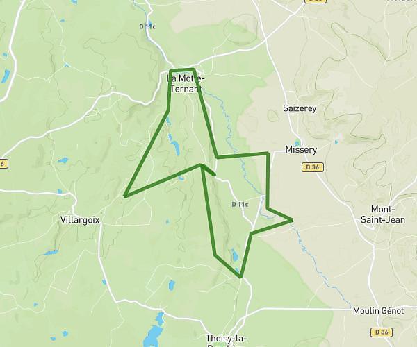
This running route covers 8.003mi starting from La Motte-Ternant, Côte-d’Or. The run is a loop trail and returns to the trailhead. This run is rated as hard, expect about 1h17m to complete it. The route has an elevation gain of 33ft and an elevation loss of 197ft.
12km Mercueil
Route details
6.21mph
Speed
883 kcal
Calories burned
Loop trail
Route type
1171ft
Min altitude
1368ft
Max altitude
Route profile
33ft
Elevation gain
197ft
Elevation loss
1171ft
Min altitude
1368ft
Max altitude
How to get there
Trailhead: 1 Impasse Bergerie, 21210 La Motte-Ternant, France
GPS coordinates of the trailhead: 47.30151, 4.34195 / 47°18'5'' N, 4°20'31'' E