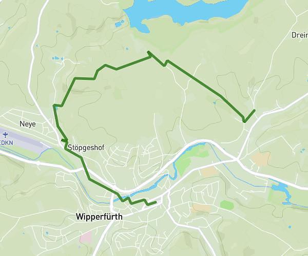
This hiking trail covers 14.06mi starting from Wuppertal, North Rhine-Westphalia. The hike does not return to the trailhead and ends near Nierenhofer Straße 37, 45525 Hattingen, Germany. This hike is rated as strenuous, plan for about 4h53m to complete it. The route has an elevation gain of 1440ft and an elevation loss of 1831ft.
Route1
Route details
2.87mph
Speed
2124 kcal
Calories burned
4.4%
Avg grade
Point to point
Route type
262ft
Min altitude
1027ft
Max altitude
Route profile
1440ft
Elevation gain
1831ft
Elevation loss
262ft
Min altitude
1027ft
Max altitude
How to get there
Trailhead: Eintrachtstraße 73, 42277 Wuppertal, Germany
GPS coordinates of the trailhead: 51.279218, 7.206202 / 51°16'45'' N, 7°12'22'' E