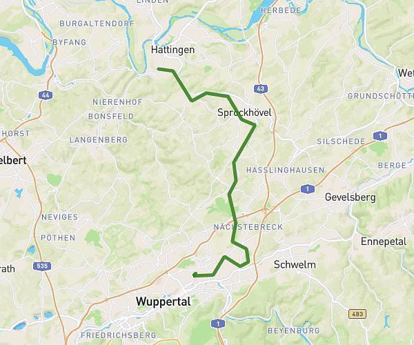
This hiking trail covers 3.597mi starting from Wipperfürth, North Rhine-Westphalia. The hike does not return to the trailhead and ends near Marktstraße 4, 51688 Wipperfürth, Germany. This hike is rated as easy, plan for about 1h26m to complete it. The route has an elevation gain of 348ft and an elevation loss of 341ft.
Harhausen
Route details
2.49mph
Speed
626 kcal
Calories burned
3.6%
Avg grade
Point to point
Route type
876ft
Min altitude
1106ft
Max altitude
Route profile
348ft
Elevation gain
341ft
Elevation loss
876ft
Min altitude
1106ft
Max altitude
How to get there
Trailhead: Dreiner Weg 10b, 51688 Wipperfürth, Germany
GPS coordinates of the trailhead: 51.127066, 7.414706 / 51°7'37'' N, 7°24'52'' E