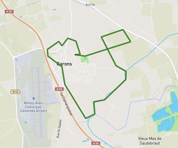
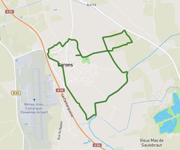
This running route covers 5.651mi starting from Saint-Just, Hérault. The run does not return to the trailhead and ends near 65 Avenue Camille Desmoulins, 34400 Saint-Just, France. This run is rated as moderate, expect about 1h1m to complete it. The route has an elevation gain of 157ft and an elevation loss of 157ft.
St Nazaire 1
Route details
5.56mph
Speed
697 kcal
Calories burned
Point to point
Route type
-7ft
Min altitude
20ft
Max altitude
Route profile
157ft
Elevation gain
157ft
Elevation loss
-7ft
Min altitude
20ft
Max altitude
How to get there
Trailhead: 40 Place Du Bicentenaire De La Révolution Française, 34400 Saint-Just, France
GPS coordinates of the trailhead: 43.654279, 4.119929 / 43°39'15'' N, 4°7'11'' E