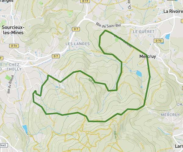
This hiking trail covers 5.192mi starting from Chaussan, Rhône. The hike is a loop trail and returns to the trailhead. This hike is rated as hard, plan for about 2h10m to complete it. The route has an elevation gain of 1109ft and an elevation loss of 1112ft.
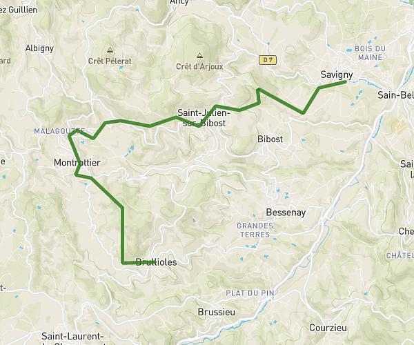
Saint Genoux - Saint André la Côte
Route details
2.4mph
Speed
971 kcal
Calories burned
8.1%
Avg grade
Loop trail
Route type
1975ft
Min altitude
2864ft
Max altitude
Steep climb
Route profile
1109ft
Elevation gain
1112ft
Elevation loss
1975ft
Min altitude
2864ft
Max altitude
How to get there
Trailhead: Route De Saint-Martin, 69440 Chaussan
GPS coordinates of the trailhead: 45.63882, 4.61491 / 45°38'19'' N, 4°36'53'' E