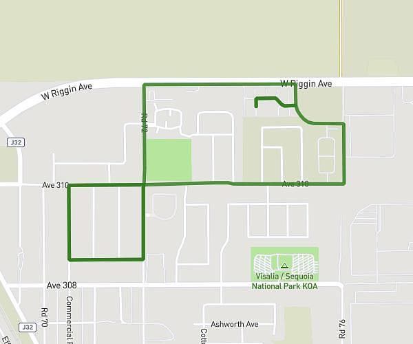
This running route covers 2.005mi starting from Lemoore, California. The run is a loop trail and returns to the trailhead. This run is rated as easy, expect about 16m to complete it. The route has an elevation gain of 10ft and an elevation loss of 7ft.
2 mile run
Route details
7.52mph
Speed
183 kcal
Calories burned
Loop trail
Route type
217ft
Min altitude
226ft
Max altitude
Route profile
10ft
Elevation gain
7ft
Elevation loss
217ft
Min altitude
226ft
Max altitude
How to get there
Trailhead: 601 Brookshire Court, Lemoore, California 93245, United States
GPS coordinates of the trailhead: 36.30678, -119.79002 / 36°18'24'' N, 119°47'24'' W