MapPlanner
14.997mi
Distance
1h31m
Duration
9.89mph
Speed
+627ft
Elevation gain
-627ft
Elevation loss
Moderate
Level

15mile

Route details

805 kcal
Calories burned
1.6%
Avg grade
Loop trail
Route type
561ft
Min altitude
610ft
Max altitude

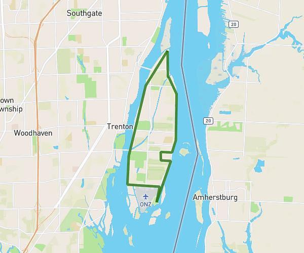
This cycling route covers 14.997mi starting from Grosse Ile, Michigan. The ride is a loop trail and returns to the trailhead. This route is rated as moderate, plan for about 1h31m to complete it. The route has an elevation gain of 627ft and an elevation loss of 627ft.

Route profile

627ft
Elevation gain
627ft
Elevation loss
561ft
Min altitude
610ft
Max altitude

How to get there

Trailhead: 19321 Parke Lane, Grosse Ile, Michigan 48138, United States

GPS coordinates of the trailhead: 42.168376, -83.144167 / 42°10'6'' N, 83°8'39'' W

Caution: May Cross Private Property

This route may pass through or near private property. Always respect posted signs, obtain permission where required, and follow local trespassing laws. MapPlanner does not guarantee public access along any route.

Safety Notice

Trail and road conditions may change without notice due to weather, construction, or other factors. Always verify current conditions before heading out. You are responsible for your own safety — follow local signage, obey traffic laws, and use your best judgment on the trail.