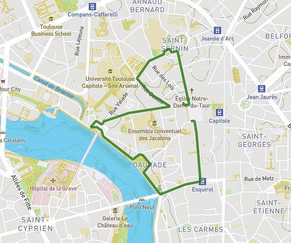
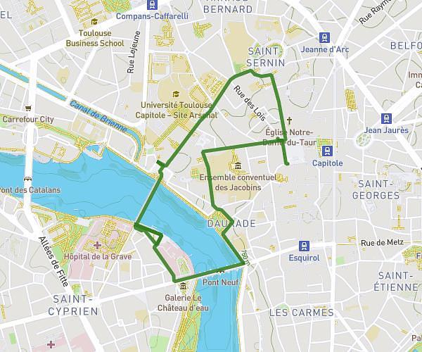
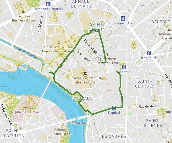
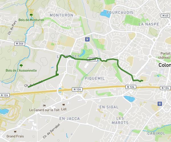
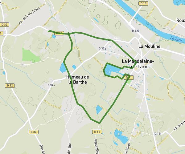
This walking route covers 6.925mi starting from Lapeyrouse-Fossat, Haute-Garonne. The walk is a loop trail and returns to the trailhead. This walk is rated as hard, plan for about 11m46s to complete it. The route has an elevation gain of 427ft and an elevation loss of 427ft.
marche solidaire Baobab 2024
Route details
24:08/mi
Pace
48 kcal
Calories burned
Loop trail
Route type
469ft
Min altitude
676ft
Max altitude
Route profile
427ft
Elevation gain
427ft
Elevation loss
469ft
Min altitude
676ft
Max altitude
How to get there
Trailhead: Place Du 19 Mars 1962, 31180 Lapeyrouse-Fossat, France
GPS coordinates of the trailhead: 43.69263, 1.51728 / 43°41'33'' N, 1°31'2'' E