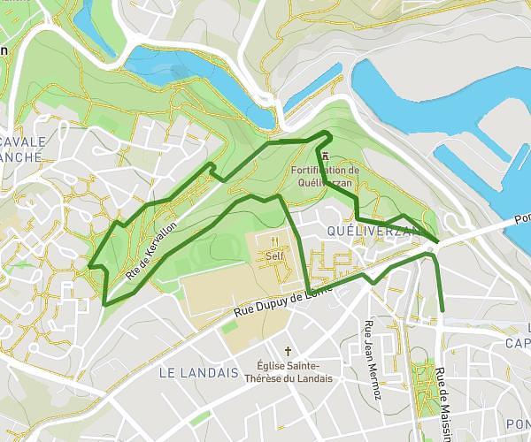
This running route covers 9.154mi starting from Plouzané, Finistère. The run is a loop trail and returns to the trailhead. This run is rated as hard, expect about 1h20m to complete it. The route has an elevation gain of 49ft and an elevation loss of 115ft.
15 km dans plouzané
Route details
6.84mph
Speed
919 kcal
Calories burned
Loop trail
Route type
210ft
Min altitude
285ft
Max altitude
Route profile
49ft
Elevation gain
115ft
Elevation loss
210ft
Min altitude
285ft
Max altitude
How to get there
Trailhead: 10 Chemin De Kérézoun, 29280 Plouzané, France
GPS coordinates of the trailhead: 48.357479, -4.578826 / 48°21'26'' N, 4°34'43'' W