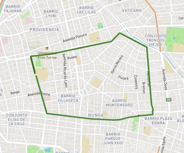
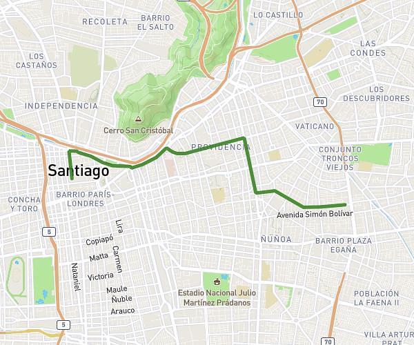
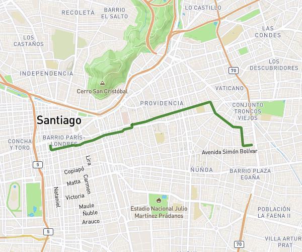
This running route covers 5.32mi starting from Santiago, Santiago Metropolitan Region. The run does not return to the trailhead and ends near Avenida Echeñique 5499a, Ñuñoa, Santiago Metropolitan Region 7750000, Chile. This run is rated as moderate, expect about 46m42s to complete it. The route has an elevation gain of 253ft and an elevation loss of 62ft.
Pega depto por Santa Isabel
Route details
6.84mph
Speed
534 kcal
Calories burned
Point to point
Route type
1811ft
Min altitude
2060ft
Max altitude
Route profile
253ft
Elevation gain
62ft
Elevation loss
1811ft
Min altitude
2060ft
Max altitude
How to get there
Trailhead: Alonso De Ovalle 1313, Santiago, Santiago Metropolitan Region 8320000, Chile
GPS coordinates of the trailhead: -33.446297, -70.653883 / 33°26'46'' S, 70°39'13'' W