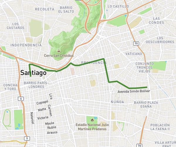
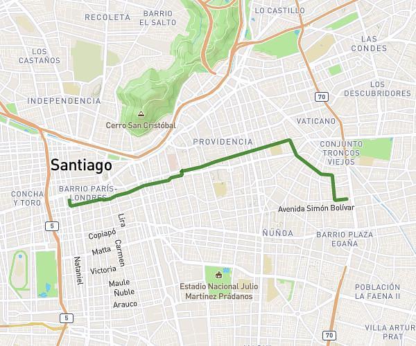
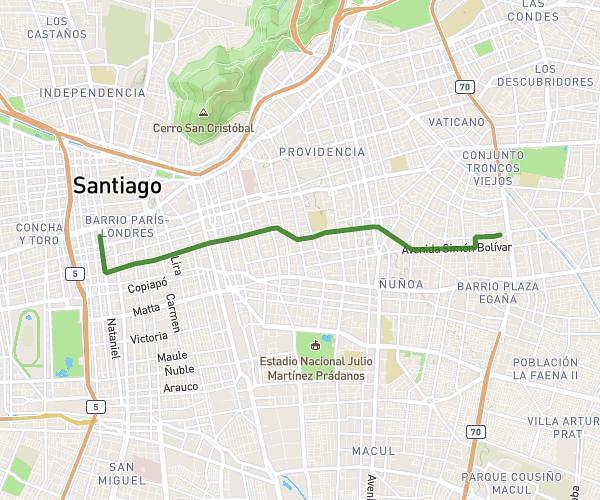
This running route covers 6.422mi starting from Providencia, Santiago Metropolitan Region. The run is a loop trail and returns to the trailhead. This run is rated as moderate, expect about 50m49s to complete it. The route has an elevation gain of 125ft and an elevation loss of 157ft.
Corrida 99 Aniversario Carabineros 2026
Route details
7.58mph
Speed
581 kcal
Calories burned
Loop trail
Route type
1903ft
Min altitude
2060ft
Max altitude
Route profile
125ft
Elevation gain
157ft
Elevation loss
1903ft
Min altitude
2060ft
Max altitude
How to get there
Trailhead: Emilio Delporte 1493, Providencia, Santiago Metropolitan Region 7500000, Chile
GPS coordinates of the trailhead: -33.443098, -70.612435 / 33°26'35'' S, 70°36'44'' W