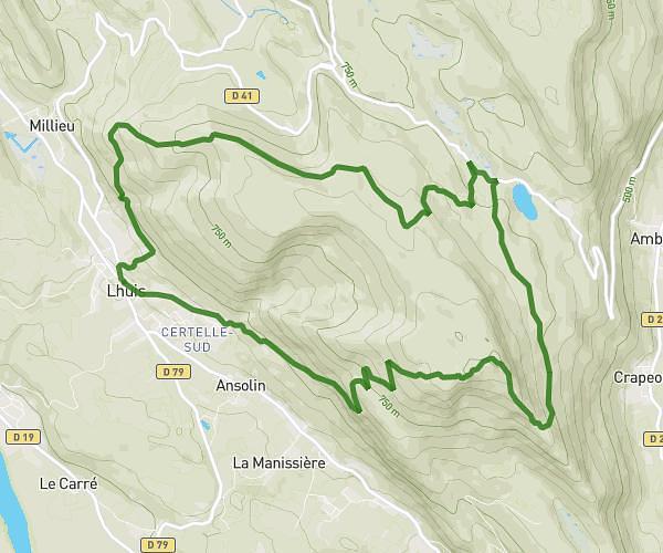
This running route covers 7.069mi starting from Douvres, Ain. The run is a loop trail and returns to the trailhead. This run is rated as moderate, expect about 1h25m to complete it. The route has an elevation gain of 1998ft and an elevation loss of 1995ft.
pierrick
Route details
4.97mph
Speed
975 kcal
Calories burned
Loop trail
Route type
1020ft
Min altitude
2598ft
Max altitude
Route profile
1998ft
Elevation gain
1995ft
Elevation loss
1020ft
Min altitude
2598ft
Max altitude
How to get there
Trailhead: Chemin De Saint-Pierre, 01500 Douvres
GPS coordinates of the trailhead: 45.98667, 5.37581 / 45°59'12'' N, 5°22'32'' E