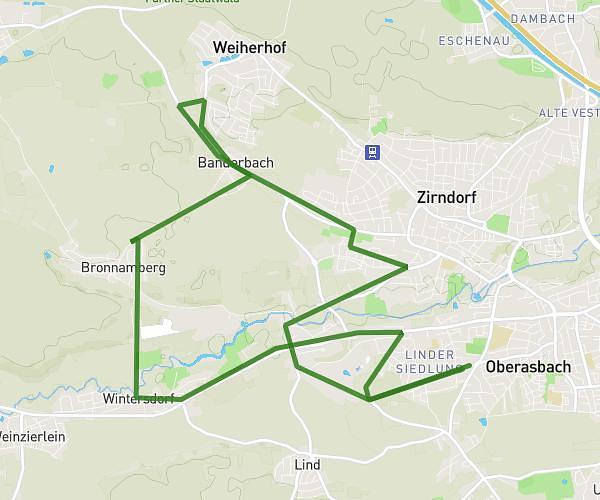
This running route covers 5.895mi starting from Erlangen, Bavaria. The run is a loop trail and returns to the trailhead. This run is rated as moderate, expect about 50m10s to complete it. The route has an elevation gain of 30ft and an elevation loss of 23ft.
9.4km Erlangen
Route details
7.05mph
Speed
574 kcal
Calories burned
Loop trail
Route type
932ft
Min altitude
948ft
Max altitude
Route profile
30ft
Elevation gain
23ft
Elevation loss
932ft
Min altitude
948ft
Max altitude
How to get there
Trailhead: Tennenloher Straße 34, 91058 Erlangen, Germany
GPS coordinates of the trailhead: 49.56859, 10.99153 / 49°34'6'' N, 10°59'29'' E