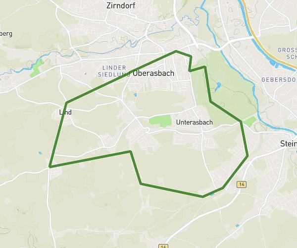
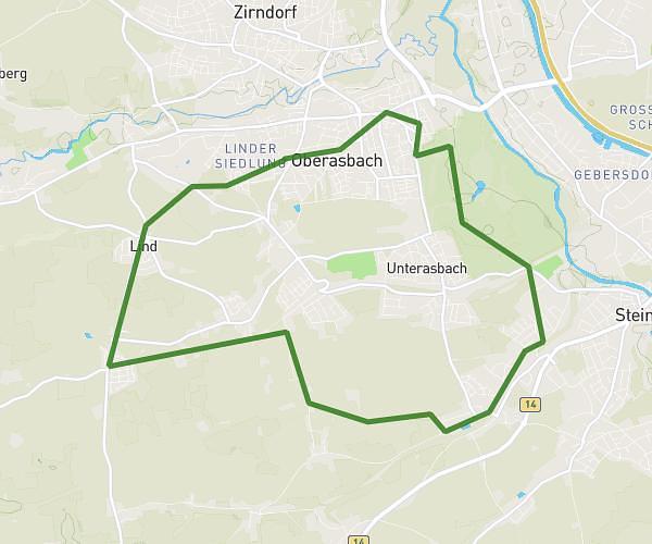
This running route covers 10.22mi starting from Oberasbach, Bavaria. The run is a loop trail and returns to the trailhead. This run is rated as hard, expect about 1h50m to complete it. The route has an elevation gain of 768ft and an elevation loss of 764ft.
Banderbach 16,5km
Route details
5.57mph
Speed
1258 kcal
Calories burned
Loop trail
Route type
971ft
Min altitude
1148ft
Max altitude
Route profile
768ft
Elevation gain
764ft
Elevation loss
971ft
Min altitude
1148ft
Max altitude
How to get there
Trailhead: Hochstraße 50, 90522 Oberasbach, Germany
GPS coordinates of the trailhead: 49.430415, 10.95928 / 49°25'49'' N, 10°57'33'' E