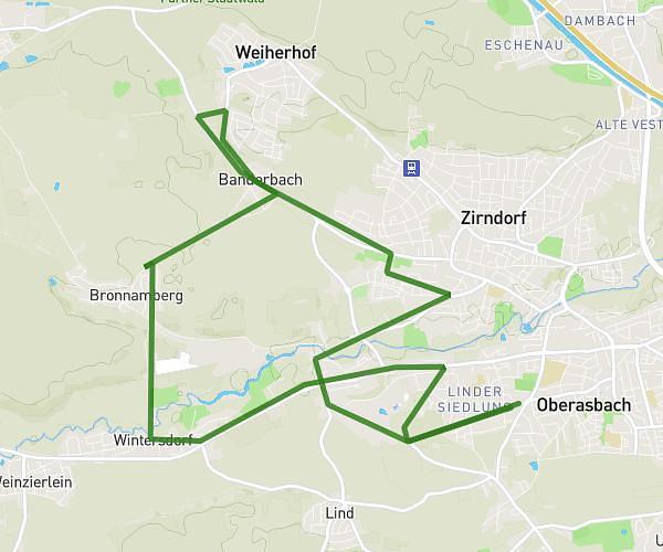
This running route covers 5.02mi starting from Herzogenaurach, Bavaria. The run is a loop trail and returns to the trailhead. This run is rated as moderate, expect about 45m to complete it. The route has an elevation gain of 46ft and an elevation loss of 66ft.
Moyen PUMA
Route details
6.69mph
Speed
515 kcal
Calories burned
Loop trail
Route type
1030ft
Min altitude
1083ft
Max altitude
Route profile
46ft
Elevation gain
66ft
Elevation loss
1030ft
Min altitude
1083ft
Max altitude
How to get there
Trailhead: Hans-Ort-Ring, 91074 Herzogenaurach
GPS coordinates of the trailhead: 49.57563, 10.90004 / 49°34'32'' N, 10°54'0'' E