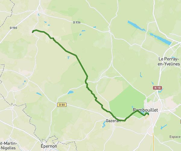
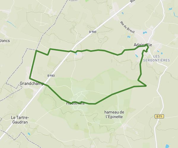
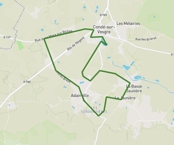
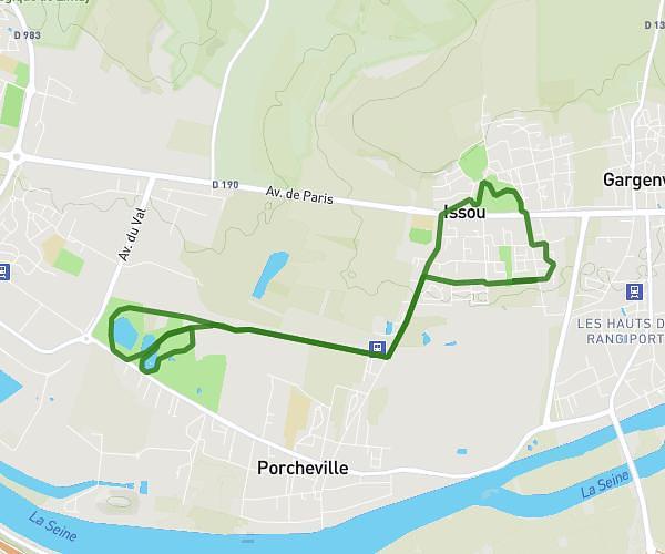
This running route covers 11.881mi starting from Anet, Eure-et-Loir. The run is a loop trail and returns to the trailhead. This run is rated as strenuous, expect about 1h40m to complete it. The route has an elevation gain of 16ft and an elevation loss of 36ft.
BALADE 26-04-2025
Route details
7.13mph
Speed
1143 kcal
Calories burned
Loop trail
Route type
203ft
Min altitude
240ft
Max altitude
Route profile
16ft
Elevation gain
36ft
Elevation loss
203ft
Min altitude
240ft
Max altitude
How to get there
Trailhead: Vieille Côte De Boncourt, 28260 Anet
GPS coordinates of the trailhead: 48.85124, 1.44962 / 48°51'4'' N, 1°26'58'' E