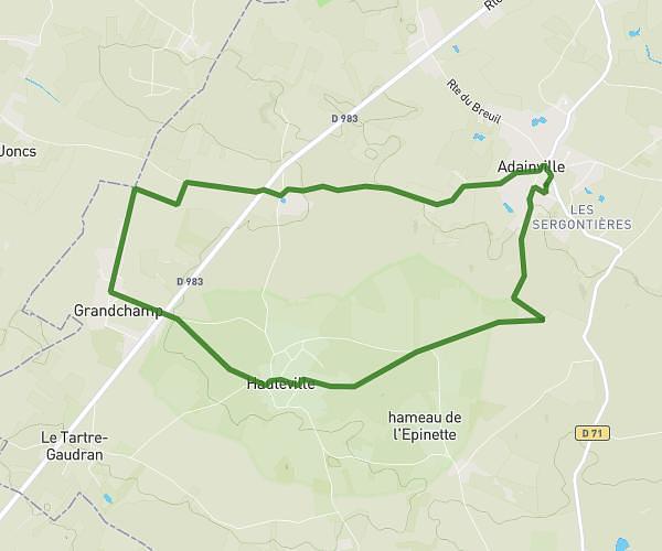
This running route covers 6.984mi starting from Adainville, Yvelines. The run is a loop trail and returns to the trailhead. This run is rated as moderate, expect about 1h15m to complete it. The route has an elevation gain of 430ft and an elevation loss of 430ft.
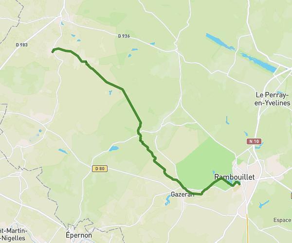
Adainville-> Le Breuil-> Condé
Route details
5.59mph
Speed
858 kcal
Calories burned
Loop trail
Route type
338ft
Min altitude
472ft
Max altitude
Route profile
430ft
Elevation gain
430ft
Elevation loss
338ft
Min altitude
472ft
Max altitude
How to get there
Trailhead: 8 Rue Des Prunus, 78113 Adainville, France
GPS coordinates of the trailhead: 48.720797, 1.653286 / 48°43'14'' N, 1°39'11'' E