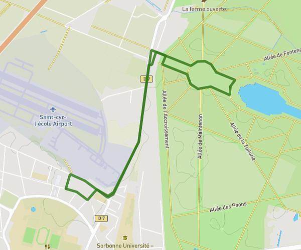
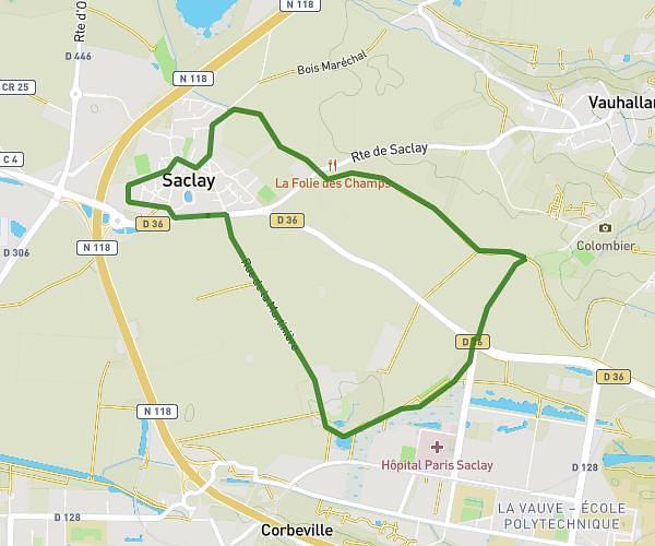
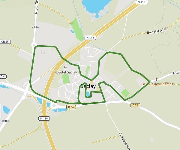
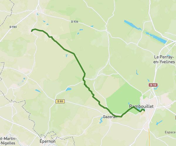
This running route covers 7.932mi starting from Rambouillet, Yvelines. The run is a loop trail and returns to the trailhead. This run is rated as hard, expect about 1h25m to complete it. The route has an elevation gain of 476ft and an elevation loss of 476ft.
Vendredi 05/06/2026
Route details
5.6mph
Speed
972 kcal
Calories burned
Loop trail
Route type
472ft
Min altitude
571ft
Max altitude
Route profile
476ft
Elevation gain
476ft
Elevation loss
472ft
Min altitude
571ft
Max altitude
How to get there
Trailhead: 13 Avenue Du Général Leclerc, 78120 Rambouillet, France
GPS coordinates of the trailhead: 48.64143, 1.823681 / 48°38'29'' N, 1°49'25'' E