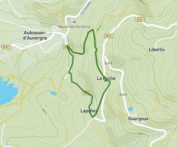
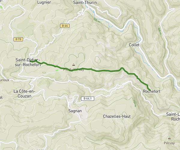
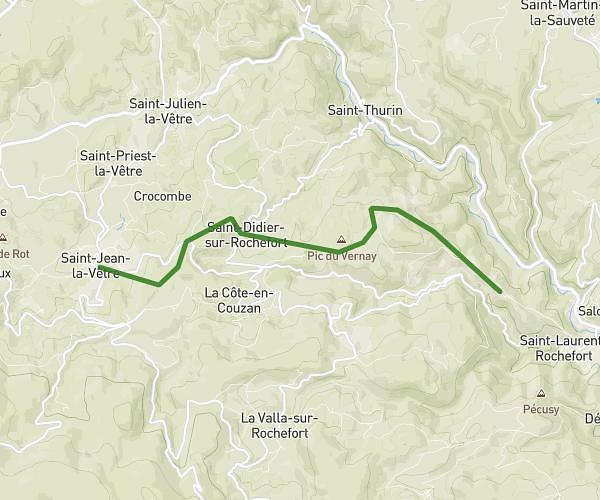
This hiking trail covers 9.232mi starting from Saint-Bonnet-le-Courreau, Loire. The hike is a loop trail and returns to the trailhead. This hike is rated as hard, plan for about 3h32m to complete it. The route has an elevation gain of 1434ft and an elevation loss of 1434ft.
Rando
Route details
2.61mph
Speed
1557 kcal
Calories burned
5.9%
Avg grade
Loop trail
Route type
4367ft
Min altitude
5207ft
Max altitude
Route profile
1434ft
Elevation gain
1434ft
Elevation loss
4367ft
Min altitude
5207ft
Max altitude
How to get there
Trailhead: 5661 Route De Garnier, 42940 Saint-Bonnet-le-Courreau, France
GPS coordinates of the trailhead: 45.634774, 3.868037 / 45°38'5'' N, 3°52'4'' E