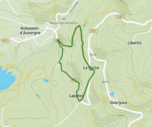
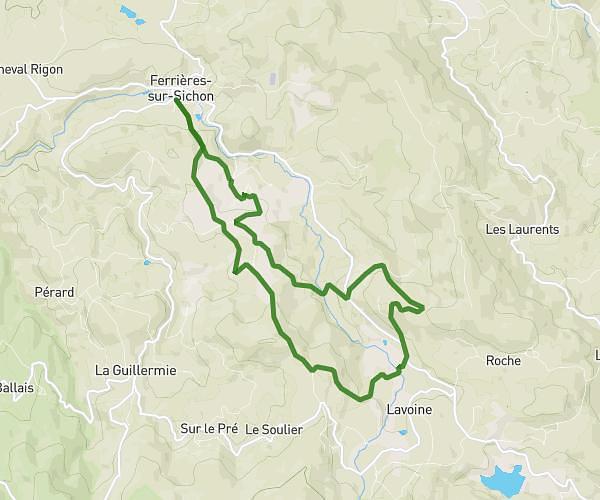
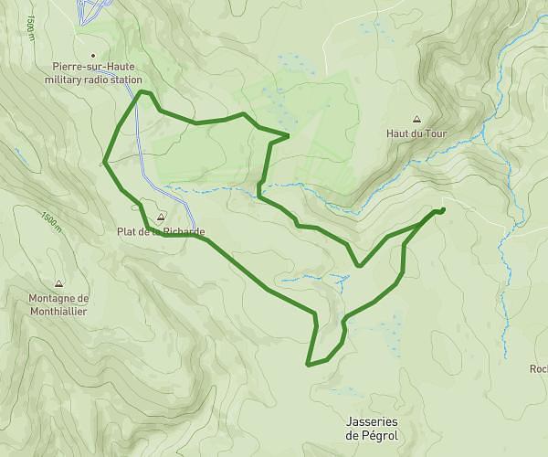
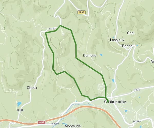
This hiking trail covers 3.518mi starting from Saint-Didier-sur-Rochefort, Loire. The hike does not return to the trailhead and ends near Rue Basile Dubien, 42130 Saint-Laurent-Rochefort. This hike is rated as moderate, plan for about 40m to complete it. The route has an elevation gain of 394ft and an elevation loss of 833ft.
Vallée verte 42 retour
Route details
5.28mph
Speed
290 kcal
Calories burned
6.6%
Avg grade
Point to point
Route type
1821ft
Min altitude
2480ft
Max altitude
Route profile
394ft
Elevation gain
833ft
Elevation loss
1821ft
Min altitude
2480ft
Max altitude
How to get there
Trailhead: Place Fournet-Fayard, 42111 Saint-Didier-sur-Rochefort
GPS coordinates of the trailhead: 45.79324, 3.84466 / 45°47'35'' N, 3°50'40'' E