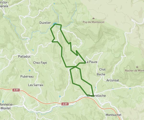
This hiking trail covers 11.042mi starting from Ferrières-sur-Sichon, Allier. The hike is a loop trail and returns to the trailhead. This hike is rated as strenuous, plan for about 4h28m to complete it. The route has an elevation gain of 2290ft and an elevation loss of 2287ft.
Rando Ferrieres Rocher St Vincent
Route details
2.47mph
Speed
1999 kcal
Calories burned
7.9%
Avg grade
Loop trail
Route type
1785ft
Min altitude
2943ft
Max altitude
Route profile
2290ft
Elevation gain
2287ft
Elevation loss
1785ft
Min altitude
2943ft
Max altitude
How to get there
Trailhead: 7 Place Du Champ De Foire, 03250 Ferrières-sur-Sichon, France
GPS coordinates of the trailhead: 46.02362, 3.648 / 46°1'25'' N, 3°38'52'' E