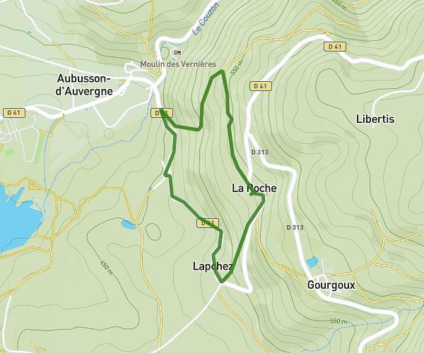
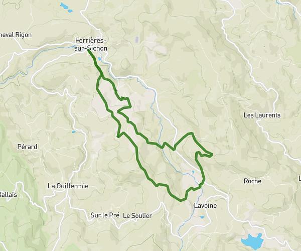
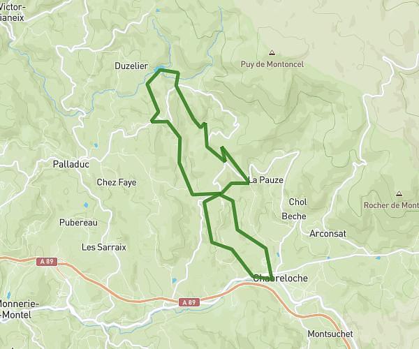
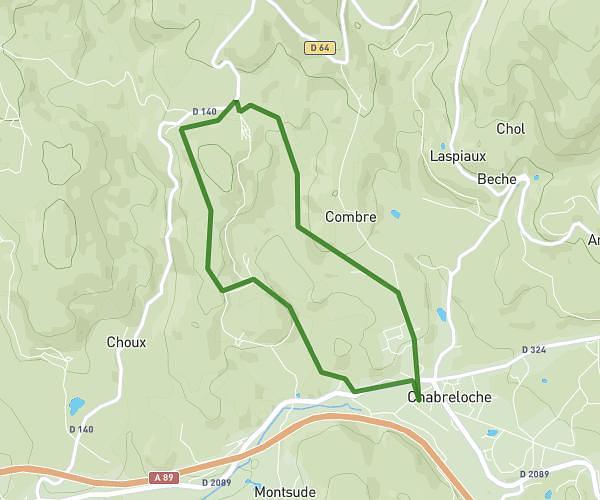
This hiking trail covers 4.359mi starting from Chabreloche, Puy-de-Dôme. The hike is a loop trail and returns to the trailhead. This hike is rated as moderate, plan for about 2h20m to complete it. The route has an elevation gain of 771ft and an elevation loss of 768ft.
les phants 2026
Route details
1.86mph
Speed
1037 kcal
Calories burned
6.7%
Avg grade
Loop trail
Route type
2014ft
Min altitude
2408ft
Max altitude
Route profile
771ft
Elevation gain
768ft
Elevation loss
2014ft
Min altitude
2408ft
Max altitude
How to get there
Trailhead: 46 Place Du Groupe Scolaire, 63250 Chabreloche, France
GPS coordinates of the trailhead: 45.878039, 3.694452 / 45°52'40'' N, 3°41'40'' E