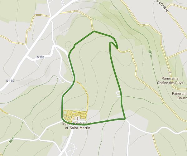
This hiking trail covers 1.091mi starting from Creuzier-le-Vieux, Allier. The hike is a loop trail and returns to the trailhead. This hike is rated as easy, plan for about 25m to complete it. The route has an elevation gain of 164ft and an elevation loss of 161ft.
marche église creuzier
Route details
2.62mph
Speed
183 kcal
Calories burned
5.6%
Avg grade
Loop trail
Route type
1024ft
Min altitude
1184ft
Max altitude
Route profile
164ft
Elevation gain
161ft
Elevation loss
1024ft
Min altitude
1184ft
Max altitude
How to get there
Trailhead: Rue De Lauzet, 03300 Creuzier-le-Vieux, France
GPS coordinates of the trailhead: 46.168432, 3.436539 / 46°10'6'' N, 3°26'11'' E