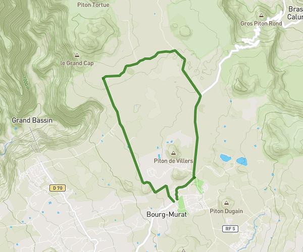
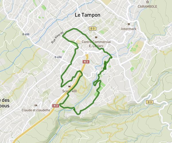
This running route covers 0.974mi starting from Le Tampon, Reunion. The run does not return to the trailhead and ends near Rond Point Des Chandelles, 97430 Le Tampon. This run is rated as easy, expect about 9m to complete it. The route has an elevation gain of 154ft and an elevation loss of 141ft.
Benoît —> 2*3 allers-retours quotidiens
Route details
6.49mph
Speed
103 kcal
Calories burned
Point to point
Route type
1775ft
Min altitude
1890ft
Max altitude
Route profile
154ft
Elevation gain
141ft
Elevation loss
1775ft
Min altitude
1890ft
Max altitude
How to get there
Trailhead: Rue Benjamin Hoareau, 97430 Le Tampon
GPS coordinates of the trailhead: -21.27748, 55.51338 / 21°16'38'' S, 55°30'48'' E