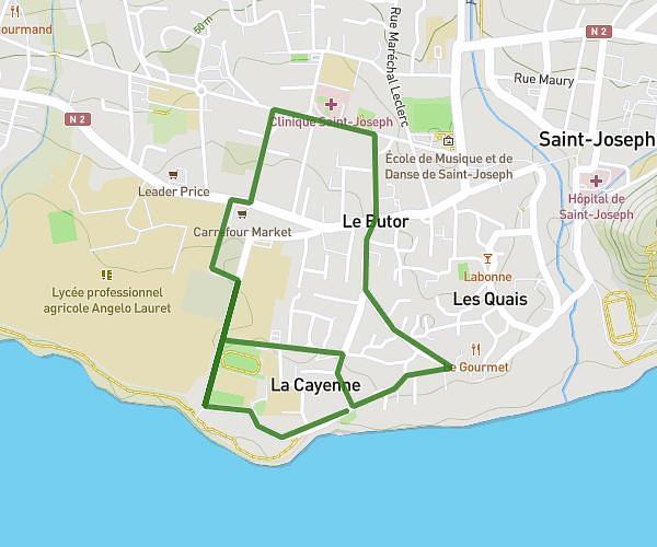
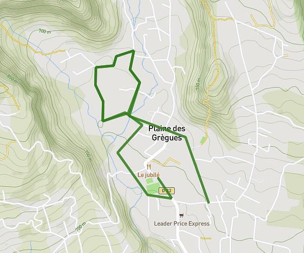
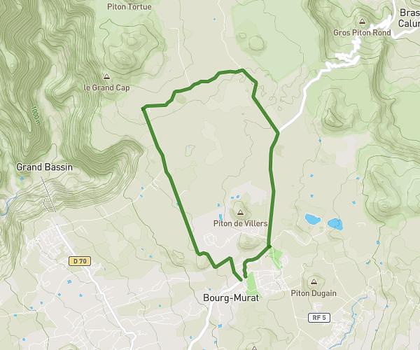
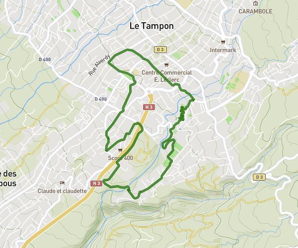
This running route covers 6.39mi starting from Le Tampon, Reunion. The run is a loop trail and returns to the trailhead. This run is rated as moderate, expect about 26m to complete it. The route has an elevation gain of 2700ft and an elevation loss of 2697ft.
Dassy
Route details
14.75mph
Speed
297 kcal
Calories burned
Loop trail
Route type
810ft
Min altitude
2549ft
Max altitude
Route profile
2700ft
Elevation gain
2697ft
Elevation loss
810ft
Min altitude
2549ft
Max altitude
How to get there
Trailhead: 70 Rue Émile Zola, 97430, Le Tampon, Reunion
GPS coordinates of the trailhead: -21.248482, 55.488237 / 21°14'54'' S, 55°29'17'' E