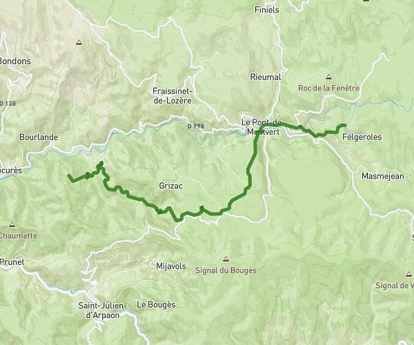
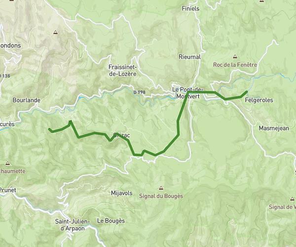
This hiking trail covers 10.491mi starting from Pont de Montvert - Sud Mont Lozère, Lozère. The hike does not return to the trailhead and ends near Chemin Du Merlet, 48220 Pont de Montvert - Sud Mont Lozère, France. This hike is rated as hard, plan for about 5h37m to complete it. The route has an elevation gain of 961ft and an elevation loss of 1670ft.
Mas de la barque- col ded l'Ancise
Route details
1.86mph
Speed
2432 kcal
Calories burned
4.8%
Avg grade
Point to point
Route type
3990ft
Min altitude
5499ft
Max altitude
Route profile
961ft
Elevation gain
1670ft
Elevation loss
3990ft
Min altitude
5499ft
Max altitude
How to get there
Trailhead: D 66, 48220 Pont de Montvert - Sud Mont Lozère, France
GPS coordinates of the trailhead: 44.38602, 3.87526 / 44°23'9'' N, 3°52'30'' E