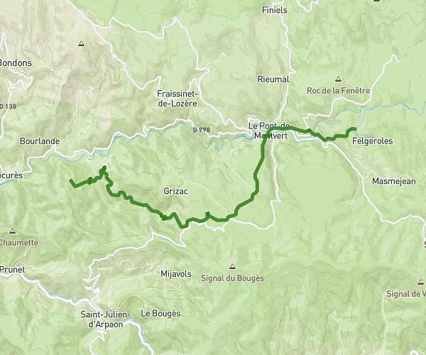
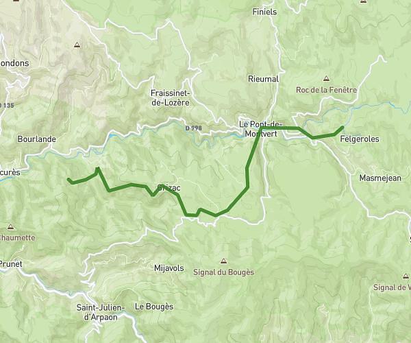
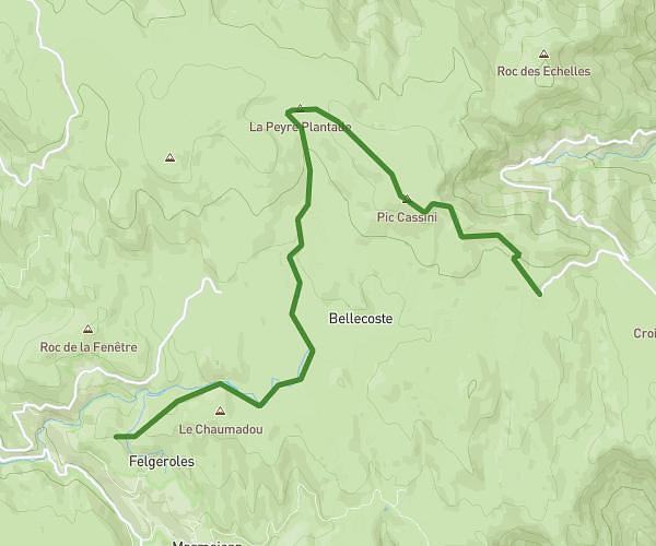
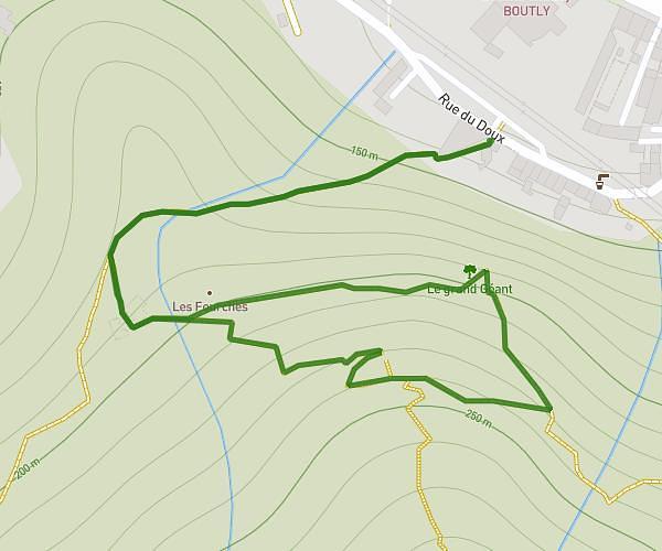
This hiking trail covers 5.781mi starting from Les Vans, Ardèche. The hike is a loop trail and returns to the trailhead. This hike is rated as strenuous, plan for about 3h27m to complete it. The route has an elevation gain of 2467ft and an elevation loss of 2448ft.
Naves Yo
Route details
1.67mph
Speed
1652 kcal
Calories burned
16.1%
Avg grade
Loop trail
Route type
778ft
Min altitude
2539ft
Max altitude
Steep climb
Route profile
2467ft
Elevation gain
2448ft
Elevation loss
778ft
Min altitude
2539ft
Max altitude
How to get there
Trailhead: 1478 Route De Naves, 07140 Les Vans, France
GPS coordinates of the trailhead: 44.4027, 4.109415 / 44°24'9'' N, 4°6'33'' E