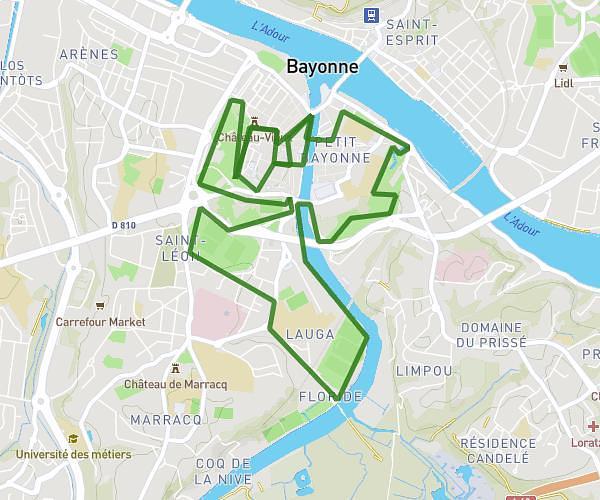
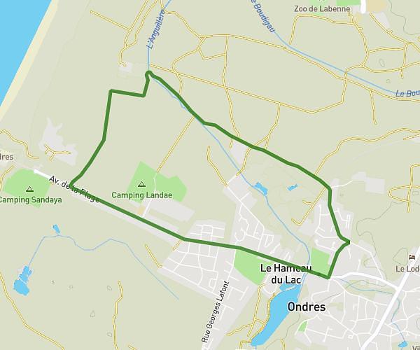
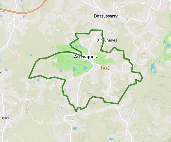
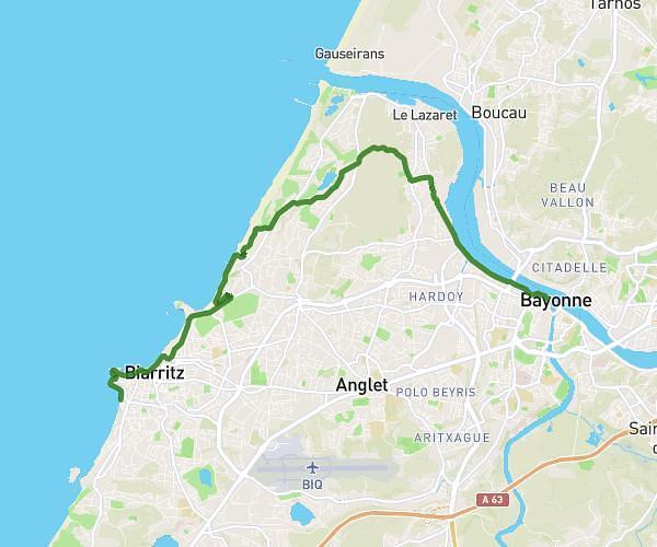
This running route covers 3.155mi starting from Anglet, Pyrénées-Atlantiques. The run is a loop trail and returns to the trailhead. This run is rated as easy, expect about 30m to complete it. The route has an elevation gain of 52ft and an elevation loss of 46ft.
5km - HR - 7e edition
Route details
6.31mph
Speed
343 kcal
Calories burned
Loop trail
Route type
33ft
Min altitude
85ft
Max altitude
Route profile
52ft
Elevation gain
46ft
Elevation loss
33ft
Min altitude
85ft
Max altitude
How to get there
Trailhead: Allée Orok-Bat, 64600 Anglet
GPS coordinates of the trailhead: 43.51436, -1.50543 / 43°30'51'' N, 1°30'19'' W