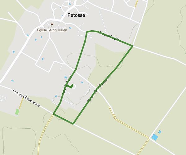
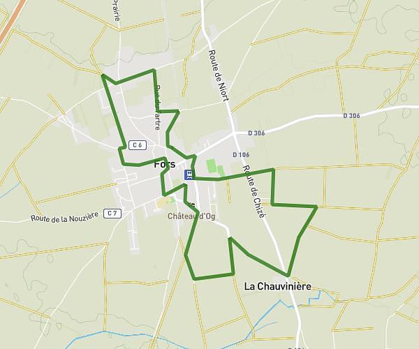
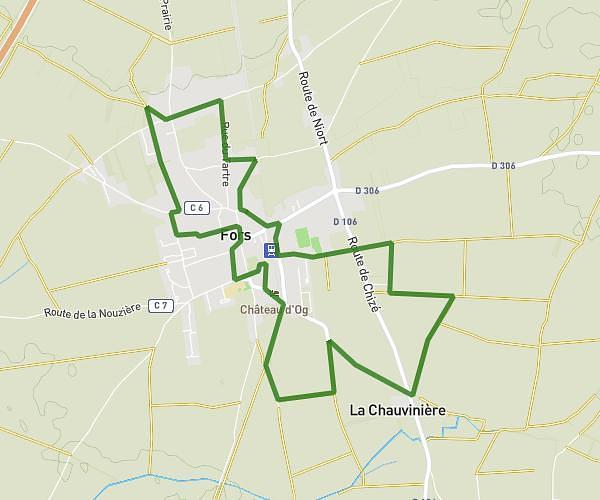
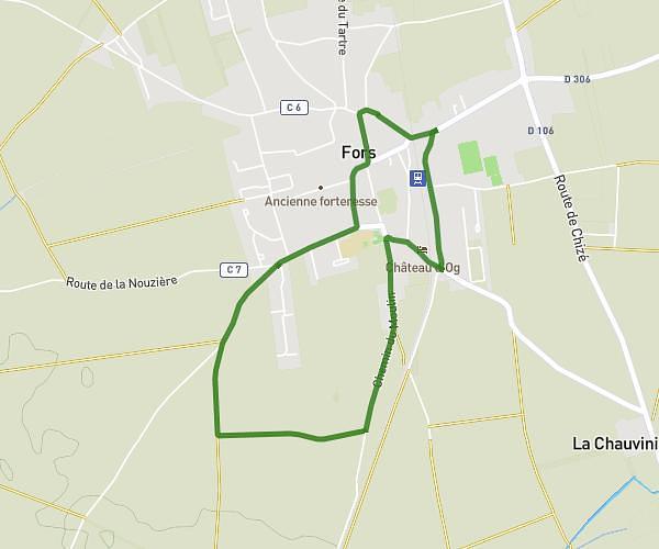
This walking route covers 7.033mi starting from Bouillé-Courdault, Vendée. The walk is a loop trail and returns to the trailhead. This walk is rated as hard, plan for about 2h31m to complete it. The route has an elevation gain of 213ft and an elevation loss of 223ft.
Marche gourmande
Route details
21:27/mi
Pace
617 kcal
Calories burned
Loop trail
Route type
3ft
Min altitude
39ft
Max altitude
Route profile
213ft
Elevation gain
223ft
Elevation loss
3ft
Min altitude
39ft
Max altitude
How to get there
Trailhead: 46 Rue Du Pré Maillet, 85420 Bouillé-Courdault, France
GPS coordinates of the trailhead: 46.38915, -0.69102 / 46°23'20'' N, 0°41'27'' W