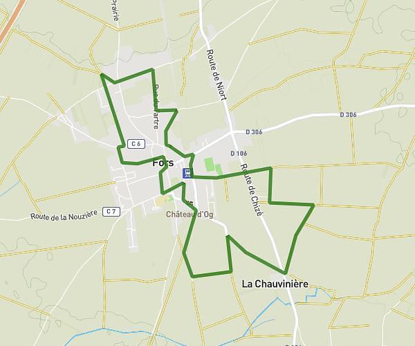
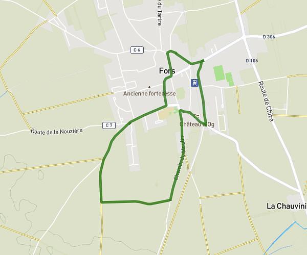
This walking route covers 5.196mi starting from Fors, Deux-Sèvres. The walk is a loop trail and returns to the trailhead. This walk is rated as hard, plan for about 1h51m to complete it. The route has an elevation gain of 207ft and an elevation loss of 210ft.
escapade longue septembre 2025
Route details
21:22/mi
Pace
453 kcal
Calories burned
Loop trail
Route type
148ft
Min altitude
190ft
Max altitude
Route profile
207ft
Elevation gain
210ft
Elevation loss
148ft
Min altitude
190ft
Max altitude
How to get there
Trailhead: 15 Rue De La Poste, 79230 Fors, France
GPS coordinates of the trailhead: 46.23673, -0.40902 / 46°14'12'' N, 0°24'32'' W