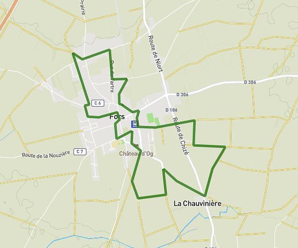
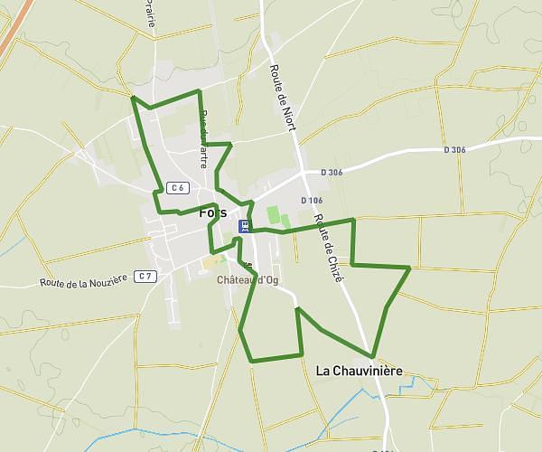
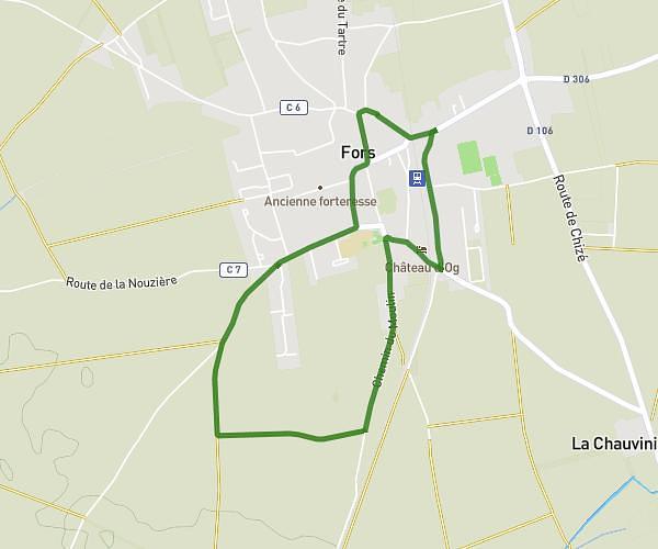
This walking route covers 9.632mi starting from Melle, Deux-Sèvres. The walk is a loop trail and returns to the trailhead. This walk is rated as strenuous, plan for about 1h33m to complete it. The route has an elevation gain of 535ft and an elevation loss of 531ft.
Niveau 1 secteur Melle
Route details
9:39/mi
Pace
380 kcal
Calories burned
Loop trail
Route type
348ft
Min altitude
486ft
Max altitude
Route profile
535ft
Elevation gain
531ft
Elevation loss
348ft
Min altitude
486ft
Max altitude
How to get there
Trailhead: 3 Chemin Baudroux, 79500 Melle, France
GPS coordinates of the trailhead: 46.221869, -0.154251 / 46°13'18'' N, 0°9'15'' W