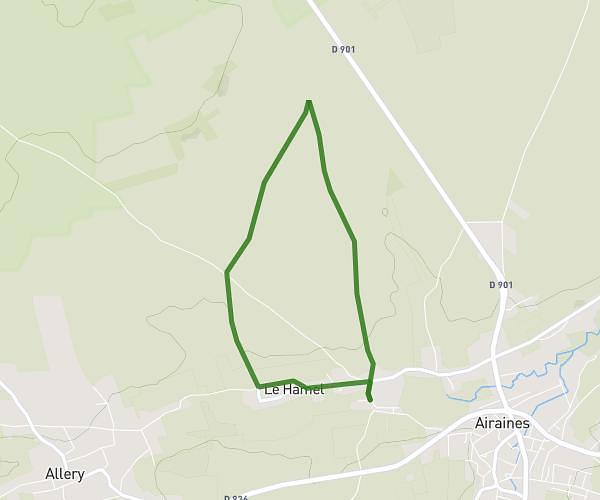
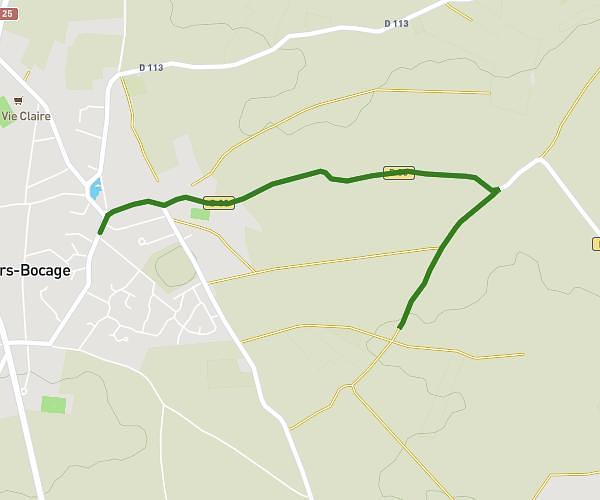
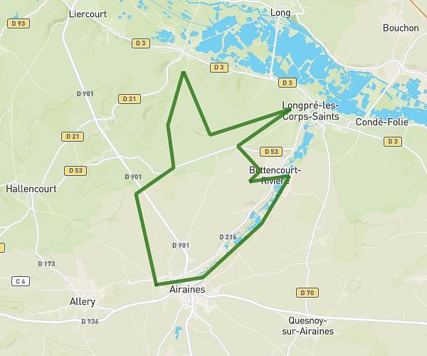
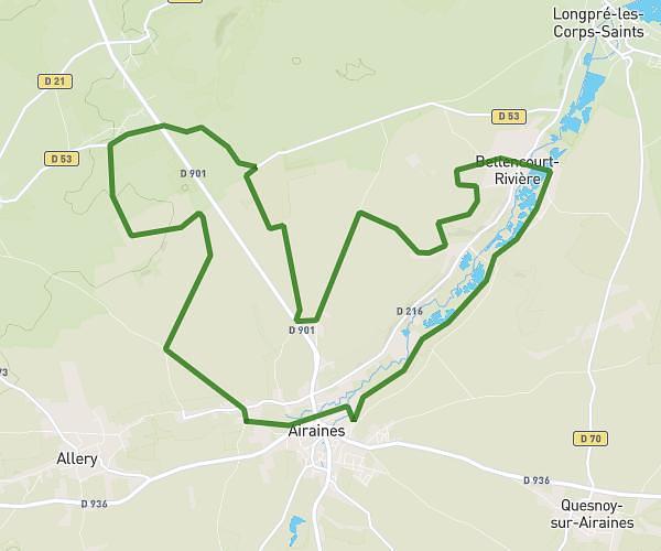
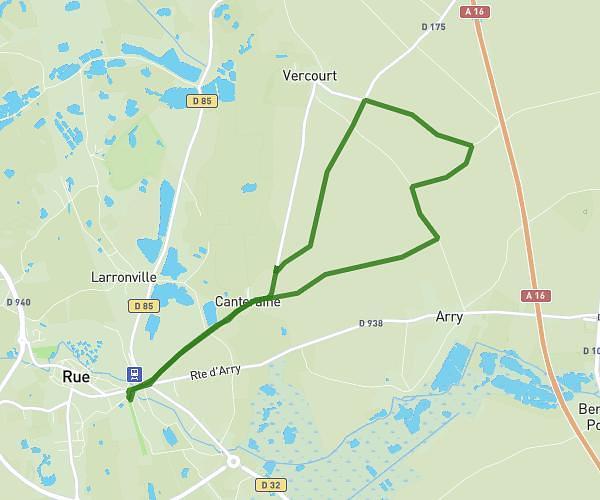
This running route covers 7.713mi starting from Amiens, Somme. The run does not return to the trailhead and ends near 20 Les Grandes Aiguilles, 80470 La Chaussée-Tirancourt, France. This run is rated as hard, expect about 1h23m to complete it. The route has an elevation gain of 0ft and an elevation loss of 75ft.
25km
Route details
5.57mph
Speed
949 kcal
Calories burned
Point to point
Route type
49ft
Min altitude
125ft
Max altitude
Route profile
0ft
Elevation gain
75ft
Elevation loss
49ft
Min altitude
125ft
Max altitude
How to get there
Trailhead: 15 Rue Lamarck, 80000 Amiens, France
GPS coordinates of the trailhead: 49.891082, 2.298903 / 49°53'27'' N, 2°17'56'' E