MapPlanner
6.299mi
Distance
1h40m
Duration
15:53/mi
Pace
Strenuous
Level

TANAQUEST 2025 - Relais 2 - Noailhac / Conques

Route details

3.78mph
Speed
1143 kcal
Calories burned
Point to point
Route type
866ft
Min altitude
1870ft
Max altitude

This running route covers 6.299mi starting from Conques-en-Rouergue, Aveyron. The run does not return to the trailhead and ends near 4 Rue Prosper Mérimée, 12320 Conques-en-Rouergue, France. This run is rated as strenuous, expect about 1h40m to complete it. The route has an elevation gain of 49ft and an elevation loss of 1053ft.

Description of the route by the creator

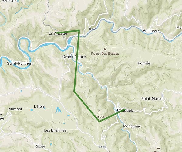
TANAQUEST 2025 - GRAND TRAIL 64 km / 2890 m D+ Only relays Relay 2 only: Noailhac / Conques: 11.5 km - 570 D+ (over 10 km)

(Description automatically translated)

Route profile

49ft
Elevation gain
1053ft
Elevation loss
866ft
Min altitude
1870ft
Max altitude

How to get there

Trailhead: 1 Chemin Des Placettes, 12320 Conques-en-Rouergue, France

GPS coordinates of the trailhead: 44.564676, 2.376039 / 44°33'52'' N, 2°22'33'' E

Caution: May Cross Private Property

This route may pass through or near private property. Always respect posted signs, obtain permission where required, and follow local trespassing laws. MapPlanner does not guarantee public access along any route.

Safety Notice

Trail and road conditions may change without notice due to weather, construction, or other factors. Always verify current conditions before heading out. You are responsible for your own safety — follow local signage, obey traffic laws, and use your best judgment on the trail.