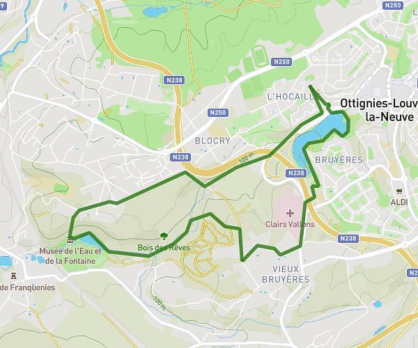
This running route covers 6.224mi starting from Ixelles, Brussels-Capital. The run does not return to the trailhead and ends near Avenue De La Sapinière - Dennenboslaan, 1000 Brussels, Brussels-Capital, Belgium. This run is rated as moderate, expect about 1h6s to complete it. The route has an elevation gain of 505ft and an elevation loss of 482ft.
Test1 ixelles
Route details
6.21mph
Speed
687 kcal
Calories burned
Point to point
Route type
213ft
Min altitude
381ft
Max altitude
Route profile
505ft
Elevation gain
482ft
Elevation loss
213ft
Min altitude
381ft
Max altitude
How to get there
Trailhead: Rue Du Relais - Pleisterstraat 49, 1050 Ixelles, Brussels-Capital, Belgium
GPS coordinates of the trailhead: 50.81162, 4.39258 / 50°48'41'' N, 4°23'33'' E