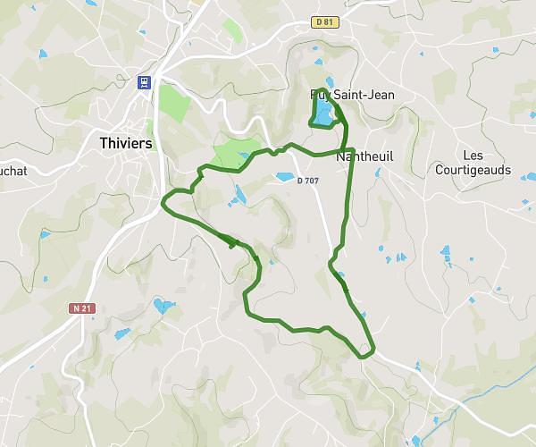
This hiking trail covers 5.407mi starting from Saint-Yrieix-la-Perche, Haute-Vienne. The hike is a loop trail and returns to the trailhead. This hike is rated as moderate, plan for about 1h44m to complete it. The route has an elevation gain of 531ft and an elevation loss of 531ft.
Centre Equestre
Route details
3.11mph
Speed
753 kcal
Calories burned
3.7%
Avg grade
Loop trail
Route type
1066ft
Min altitude
1296ft
Max altitude
Route profile
531ft
Elevation gain
531ft
Elevation loss
1066ft
Min altitude
1296ft
Max altitude
How to get there
Trailhead: 2 Route De Pierrechave, 87500 Saint-Yrieix-la-Perche, France
GPS coordinates of the trailhead: 45.51827, 1.19041 / 45°31'5'' N, 1°11'25'' E