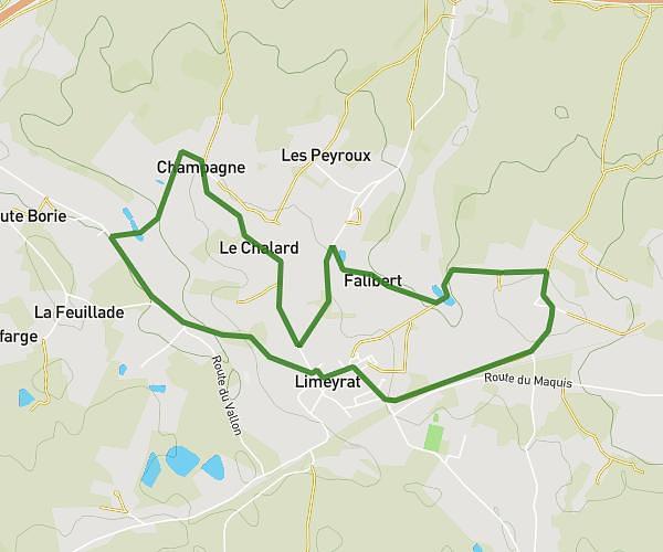
This hiking trail covers 5.798mi starting from Thiviers, Dordogne. The hike is a loop trail and returns to the trailhead. This hike is rated as moderate, plan for about 1h19m to complete it. The route has an elevation gain of 666ft and an elevation loss of 676ft.
Boucle guerinchie nantheuil
Route details
4.35mph
Speed
580 kcal
Calories burned
4.4%
Avg grade
Loop trail
Route type
489ft
Min altitude
892ft
Max altitude
Route profile
666ft
Elevation gain
676ft
Elevation loss
489ft
Min altitude
892ft
Max altitude
How to get there
Trailhead: 156 Impasse Des Fauvettes, 24800 Thiviers, France
GPS coordinates of the trailhead: 45.406617, 0.930682 / 45°24'23'' N, 0°55'50'' E