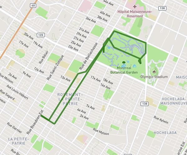
This running route covers 13.14mi starting from Montréal, Quebec. The run does not return to the trailhead and ends near Place du Marché, H3K 3H6 Montréal. This run is rated as strenuous, expect about 1h55m to complete it. The route has an elevation gain of 430ft and an elevation loss of 558ft.
Semi 2 - Crazy Running Gang
Route details
6.84mph
Speed
1319 kcal
Calories burned
Point to point
Route type
13ft
Min altitude
207ft
Max altitude
Route profile
430ft
Elevation gain
558ft
Elevation loss
13ft
Min altitude
207ft
Max altitude
How to get there
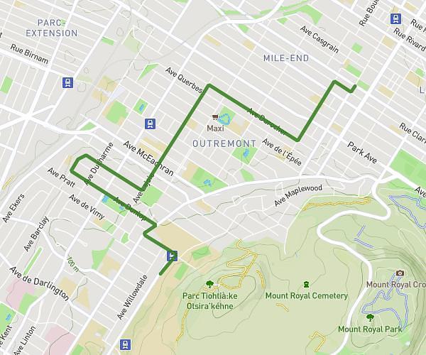
Trailhead: Avenue Laurier Est, H2J 1G8 Montréal
GPS coordinates of the trailhead: 45.53236, -73.58802 / 45°31'56'' N, 73°35'16'' W