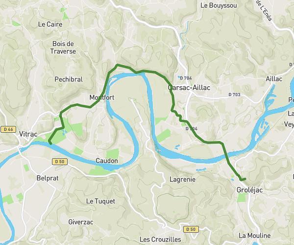
This cycling route covers 17.48mi starting from Domme, Dordogne. The ride does not return to the trailhead and ends near 39 Route De Polidelle, 46300 Le Vigan, France. This route is rated as strenuous, plan for about 1h45m to complete it. The route has an elevation gain of 2041ft and an elevation loss of 1824ft.
Domme - Le Vigan
Route details
946 kcal
Calories burned
4.2%
Avg grade
Point to point
Route type
305ft
Min altitude
974ft
Max altitude
Route profile
2041ft
Elevation gain
1824ft
Elevation loss
305ft
Min altitude
974ft
Max altitude
How to get there
Trailhead: 1 Place Porte Des Tours, 24250 Domme, France
GPS coordinates of the trailhead: 44.801724, 1.216536 / 44°48'6'' N, 1°12'59'' E