MapPlanner
5.004mi
Distance
30m
Duration
10.01mph
Speed
+151ft
Elevation gain
-194ft
Elevation loss
Moderate
Level

route

Route details

264 kcal
Calories burned
1.3%
Avg grade
Point to point
Route type
233ft
Min altitude
335ft
Max altitude

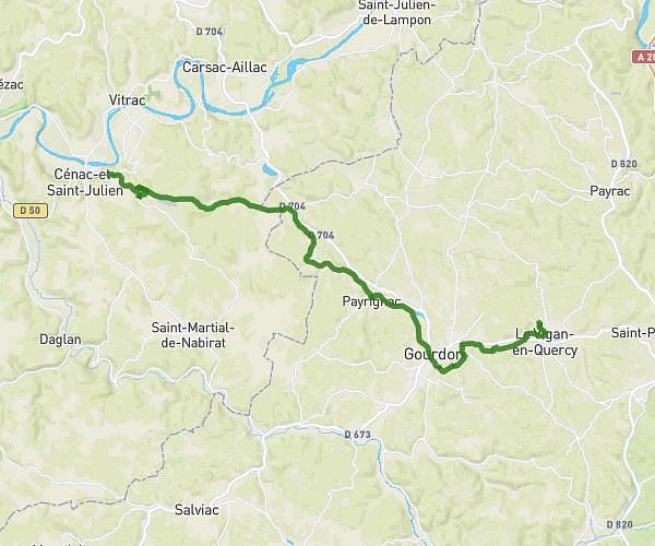
This cycling route covers 5.004mi starting from Groléjac, Dordogne. The ride does not return to the trailhead and ends near Route Du Golf, 24200 Vitrac. This route is rated as moderate, plan for about 30m to complete it. The route has an elevation gain of 151ft and an elevation loss of 194ft.

Description of the route by the creator

output

(Description automatically translated)

Route profile

151ft
Elevation gain
194ft
Elevation loss
233ft
Min altitude
335ft
Max altitude

How to get there

Trailhead: Impasse Des Grottes, 24250 Groléjac

GPS coordinates of the trailhead: 44.81993, 1.29323 / 44°49'11'' N, 1°17'35'' E

Caution: May Cross Private Property

This route may pass through or near private property. Always respect posted signs, obtain permission where required, and follow local trespassing laws. MapPlanner does not guarantee public access along any route.

Safety Notice

Trail and road conditions may change without notice due to weather, construction, or other factors. Always verify current conditions before heading out. You are responsible for your own safety — follow local signage, obey traffic laws, and use your best judgment on the trail.