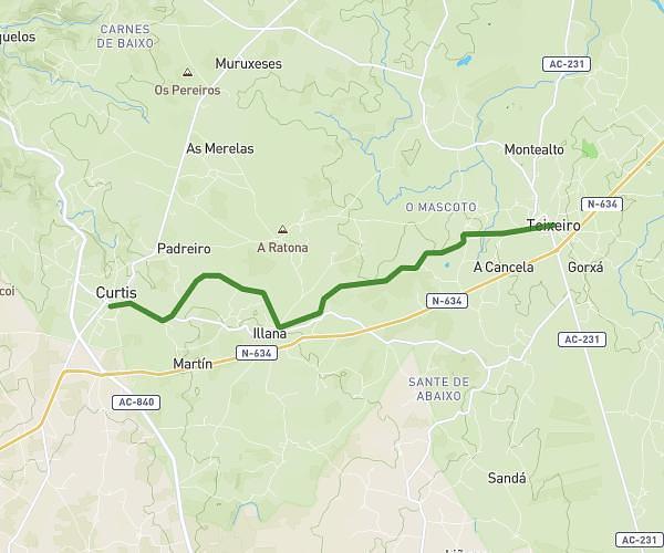
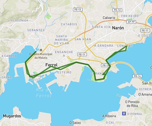
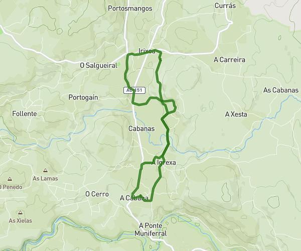
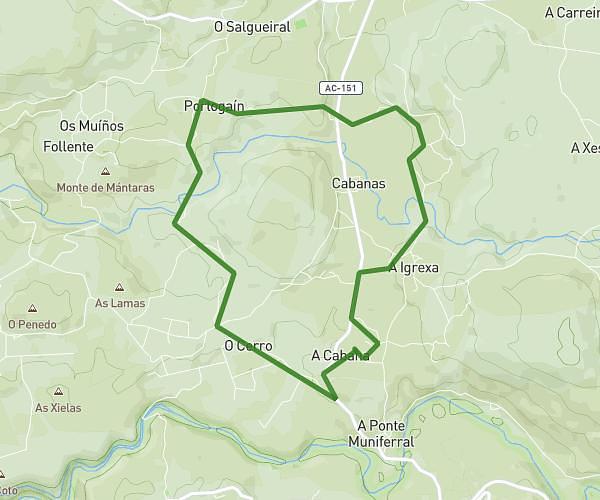
This running route covers 4.248mi starting from Culleredo, A Coruña. The run is a loop trail and returns to the trailhead. This run is rated as easy, expect about 45m59s to complete it. The route has an elevation gain of 36ft and an elevation loss of 10ft.
Paseo
Route details
5.54mph
Speed
526 kcal
Calories burned
Loop trail
Route type
-7ft
Min altitude
26ft
Max altitude
Route profile
36ft
Elevation gain
10ft
Elevation loss
-7ft
Min altitude
26ft
Max altitude
How to get there
Trailhead: Avenida Xoán Carlos I, 15670 Culleredo, A Coruña, Spain
GPS coordinates of the trailhead: 43.316603, -8.36097 / 43°18'59'' N, 8°21'39'' W