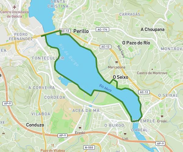
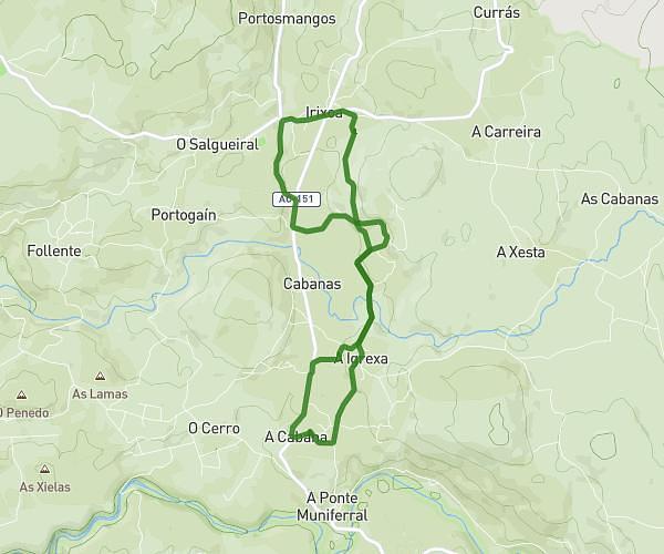
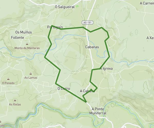
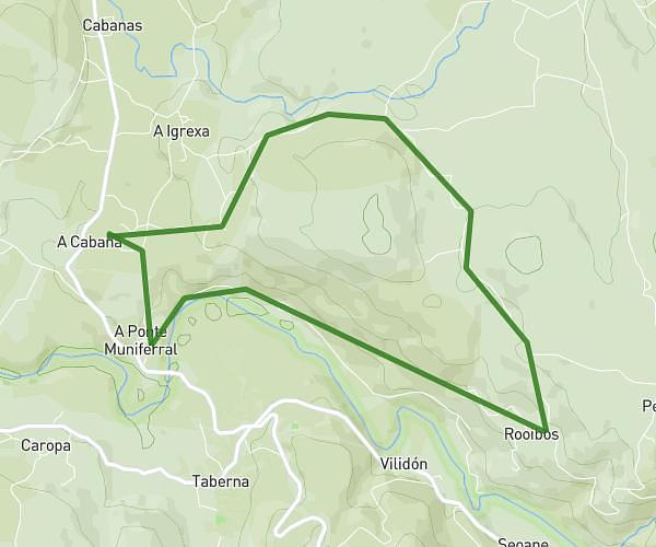
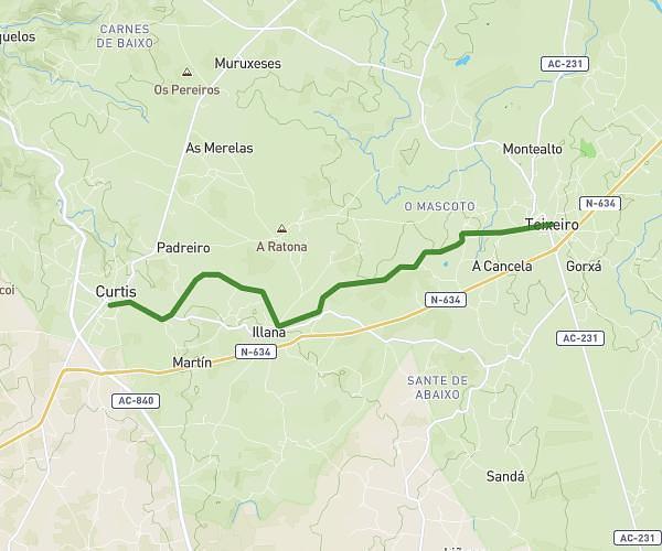
This running route covers 12.072mi starting from Ferrol, A Coruña. The run is a loop trail and returns to the trailhead. This run is rated as strenuous, expect about 1h56m to complete it. The route has an elevation gain of 1014ft and an elevation loss of 1014ft.
Mateo mira
Route details
6.21mph
Speed
1333 kcal
Calories burned
Loop trail
Route type
0ft
Min altitude
105ft
Max altitude
Route profile
1014ft
Elevation gain
1014ft
Elevation loss
0ft
Min altitude
105ft
Max altitude
How to get there
Trailhead: Rúa Pardo Bazán 32, 15406 Ferrol, A Coruña, Spain
GPS coordinates of the trailhead: 43.480276, -8.201479 / 43°28'48'' N, 8°12'5'' W