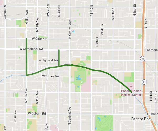
This cycling route covers 8.503mi starting from Phoenix, Arizona. The ride does not return to the trailhead and ends near 3340 West Juniper Avenue, Phoenix, Arizona 85053, United States. This route is rated as easy, plan for about 1h20m to complete it. The route has an elevation gain of 52ft and an elevation loss of 66ft.
Monday 2/19
Route details
701 kcal
Calories burned
0.3%
Avg grade
Point to point
Route type
1302ft
Min altitude
1335ft
Max altitude
Route profile
52ft
Elevation gain
66ft
Elevation loss
1302ft
Min altitude
1335ft
Max altitude
How to get there
Trailhead: 3329 West Danbury Drive, Phoenix, Arizona 85053, United States
GPS coordinates of the trailhead: 33.641733, -112.131225 / 33°38'30'' N, 112°7'52'' W