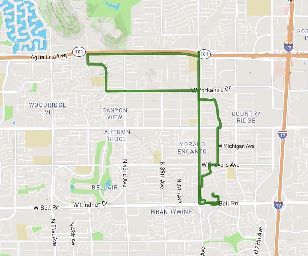
This cycling route covers 6.043mi starting from Phoenix, Arizona. The ride does not return to the trailhead and ends near West Camelback Road, 85013 Phoenix. This route is rated as easy, plan for about 30m to complete it. The route has an elevation gain of 148ft and an elevation loss of 141ft.
Rad ride
Route details
264 kcal
Calories burned
0.9%
Avg grade
Point to point
Route type
1119ft
Min altitude
1138ft
Max altitude
Route profile
148ft
Elevation gain
141ft
Elevation loss
1119ft
Min altitude
1138ft
Max altitude
How to get there
Trailhead: West Colter Street, 85013 Phoenix
GPS coordinates of the trailhead: 33.5131, -112.09128 / 33°30'47'' N, 112°5'28'' W