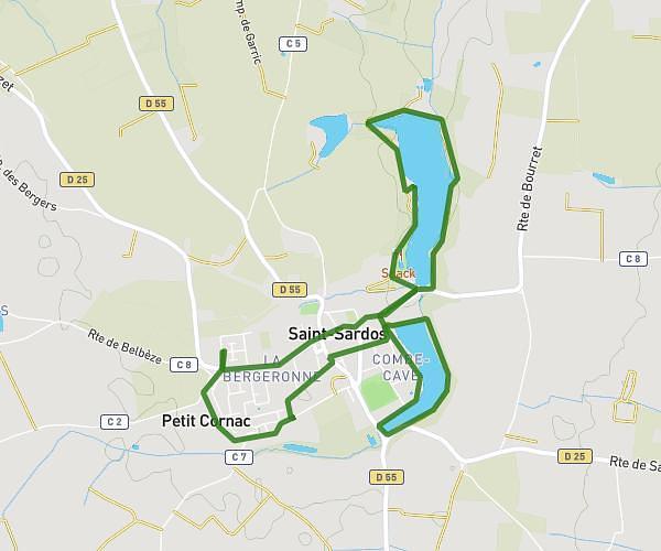
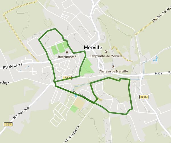
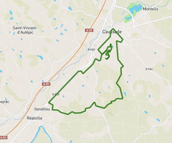
This running route covers 13.95mi starting from Montauban, Tarn-et-Garonne. The run is a loop trail and returns to the trailhead. This run is rated as strenuous, expect about 2h30m to complete it. The route has an elevation gain of 863ft and an elevation loss of 863ft.
prépa trail
Route details
5.58mph
Speed
1715 kcal
Calories burned
Loop trail
Route type
269ft
Min altitude
669ft
Max altitude
Route profile
863ft
Elevation gain
863ft
Elevation loss
269ft
Min altitude
669ft
Max altitude
How to get there
Trailhead: 4699 Route Du Fau, 82000 Montauban, France
GPS coordinates of the trailhead: 43.965544, 1.388425 / 43°57'55'' N, 1°23'18'' E